
Bridge Seton Watershed Strategic Plan
St’át’imc has a Settlement Agreement with BC Hydro and the Province of B.C. that was created in 2011 and it covers aquatic resource management. Water is necessary to maintain life; many St’át’imc oral stories describe how powerful water is and how it is necessary to utilize its spiritual power. Water connects people and all other beings within the territory. Part of this Agreement was to develop a Watershed Strategic Plan that has strong linkages to existing programs including local and regional land use planning processes, fisheries and wildlife programs, and water quality.
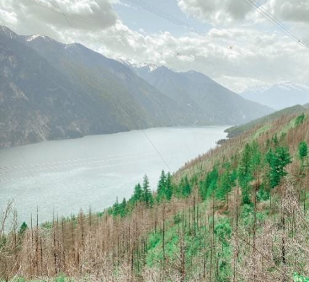
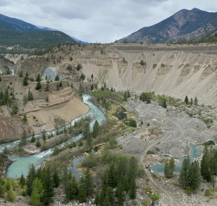
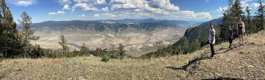
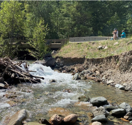
Existing and future activities of human development and climate change that can have a potential impact on the condition and status on the watershed include BC Hydro operations, forestry and logging practices, mining, industry, land development, transportation, utilities, and tourism. The planning process for this project will incorporate these watershed activities to empower St’át’imc to understand how their environmental, cultural, and social values could be potentially impacted. The project objective is to complete a report that will feed into the development of a final Bridge-Seton Watershed Strategic Plan. Work on this project primarily involved desktop studies and utilizing existing data relating to St’át’imc values and publicly available land use planning documents, industry tenures, and government databases.
Project Phase:
- Compiling information related to existing land use planning processes/programs within the Bridge-Seton watershed.
- Compiling information about important St’át’imc environmental, cultural, and social values within the Bridge-Seton watershed.
- Compiling industry and land tenure information relating to forestry, mining, BC Hydro, transportation, utilities, and private land developments using government databases.
- Creating a report that identifies spatial areas containing important St’át’imc values, areas where resource development occurs, and areas where future resource development activities may pose a risk to important St’át’imc values.

Visit our facebook page Visit our twitter page Visit our youtube page