
Seton Lake Erosion Mitigation Program
The Seton Lake Erosion Management Plan (SLEMP) is a commitment from the St’át’imc – BC Hydro Relations Agreement to monitor how BC Hydro operations on Seton Lake impact heritage sites.
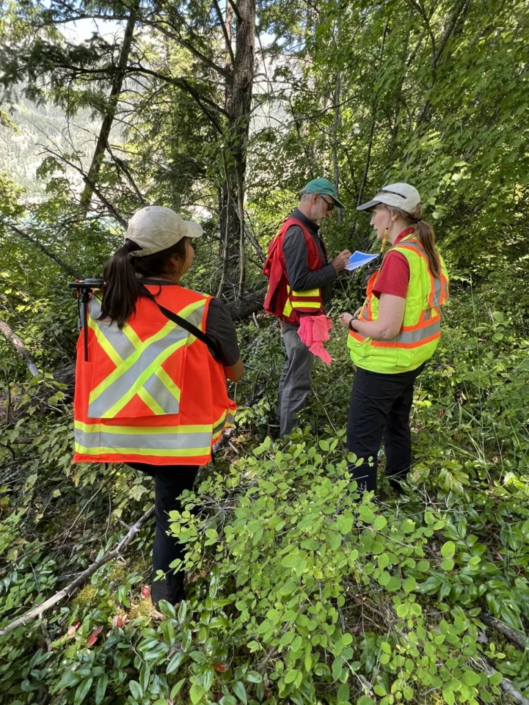
Archaeological data collected over 4 years of Seton fieldwork has mapped unrecorded archaeology sites, updated site boundaries and led to a better understanding of location that have the potential to erode as a result of reservoir operations.
The updated archaeological data helped with the development of a GIS based prioritization tool. The prioritization tool was developed as a decision-making tool to identify priority sites. The tool queries archaeology sites within 30m of shoreline that are erodible or potentially erodible. As more data becomes available, the prioritization tool becomes more comprehensive, and the sites visit locations can be targeted for protection.
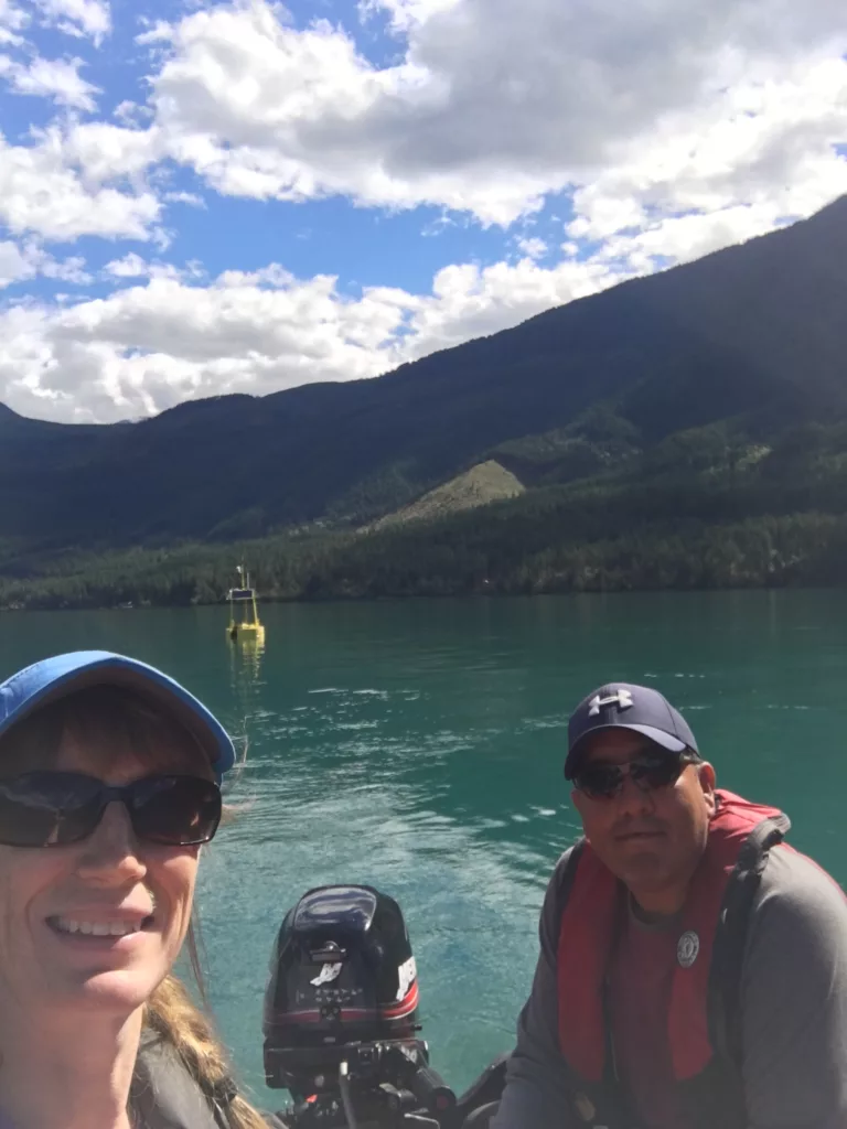
The Team is using LiDAR data, data from the wind and wave buoy and annual field visits to record landscape features, complete detailed mapping of heritage sites and document current shoreline conditions. Currently, there are 21 locations being studied; 4 locations have erosion protection works being conducted and other locations are being monitored for erosion impacts.
Visit our facebook page Visit our twitter page Visit our youtube page